Best US Road Trip | Part 1 - Bryce Canyon & Zion NP
Thanks to the Covid pandemic our US Road Trip was third time lucky. To give the parks the respect they deserve I divided our journey into three blogs: Part 1 - Bryce Canyon and Zion National Park, Part 2 - The Grand Canyon, Horseshoe Bend, and Monument Valley, Part 3 - Canyonlands and Arches National Park. For general information on how to get the best out of the parks read my blog The best USA National Parks for hiking, wildlife, and scenery.
Destination, Salt Lake City
Salt Lake City (SLC) was a great airport to fly to; the town is not a big tourist destination and so the airport was relatively quiet. It took no time to clear customs; we even got a smile from boarder control, which I was taken a little back by .. my usual experience in the states is a hard stare; certainly not the time to crack a joke.
Having picked up our usual mode of classy transport (a white minibus with a complimentary steering wheel), we set off on the four hour drive to Bryce Canyon. There really isn’t much to see in SLC so it is preferable to get an earlier landing time and get away.
The map below (click to expand) shows the three parts of our road trip - purple, blue, and grey. SLC is off the top of the map.


Bryce Canyon - what to see
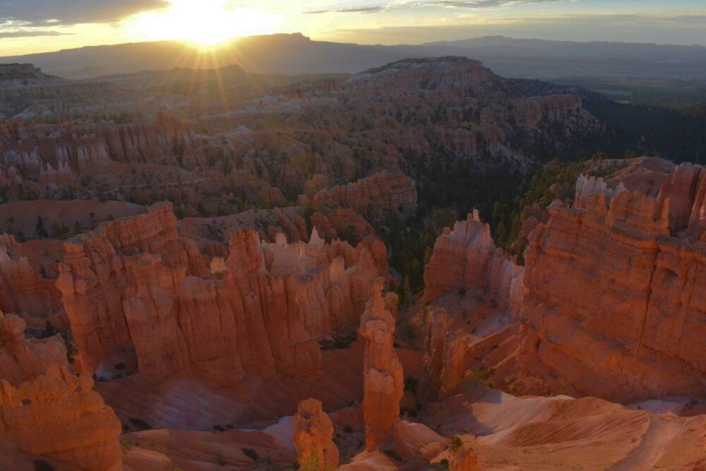
The first morning of the holiday was the usual transatlantic experience - wide awake at 4 am, so off to Bryce Canyon for sunrise. Bryce gets hot in the summer but be prepared for a chilly start as the park is at a high elevation with a peak of 9,100 feet (2778 meters). Some of the most dramatic images of Bryce are taken in the winter when the park is covered in snow.
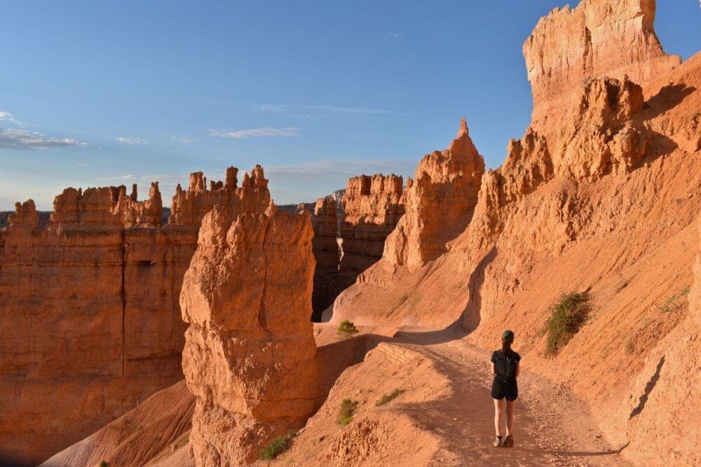
The place names in Bryce Canyon, such as Sunrise and Sunset point, are a little misleading as much of the park faces east. The best place for sunrise is to park up at Sunset point and walk down the Navajo loop trial pausing opposite Thor’s Hammer. When the sunrays hit the rock formations around you the orange glow is mind blowing. After sunrise head down the Navajo loop trail and take a left at the bottom on to the Queens Garden Trail that ends at Sunrise point. If you only have time for one hike this is the one.
If time allows, another great hike is the Peakaboo loop trail.
A drive along the Bryce Canyon scenic drive including natural bridge is not to be missed. I recommend finishing the day at Inspiration Point, to see the spectacular Hoodoos lit up by the soft orange-red light of sunset.


Beware the rattlesnake
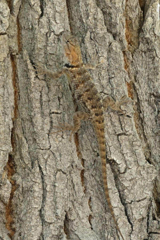
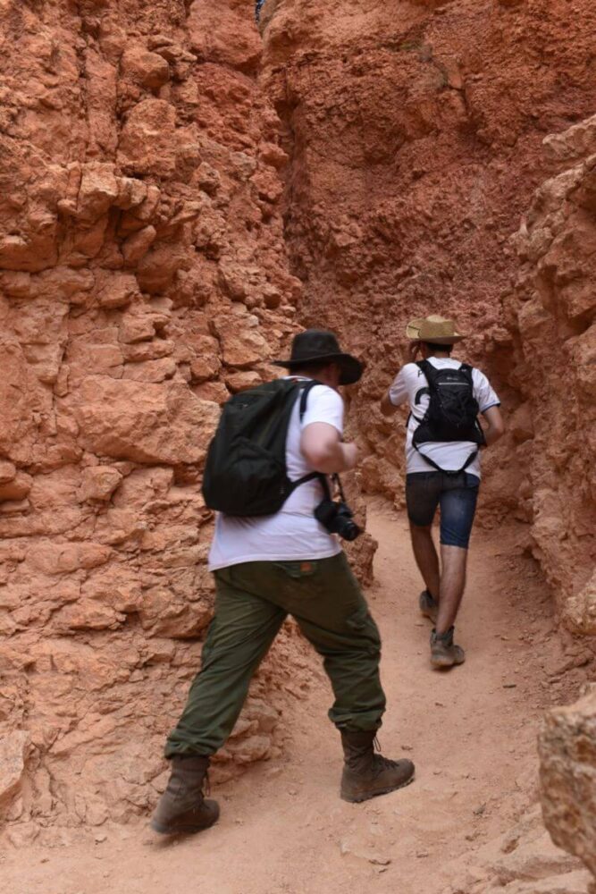
As we approached a hiker coming the other way he warned us, ‘’there’s a Great Basin Rattlesnake sunning itself on the trail just around the corner’’. Fortunately, rattlesnakes tend to keep away from humans; death from bites are rare. Prevention is best so keep to marked trails.
In the very unlikely event of a bite, keep your heart rate down and DON'T tie something around a bitten limb, this increases the risk of amputation. It is vital to get antivenom as soon as possible so phone the emergency services. If symptoms allow, head towards the closest medical facility.


Onwards to Zion National Park
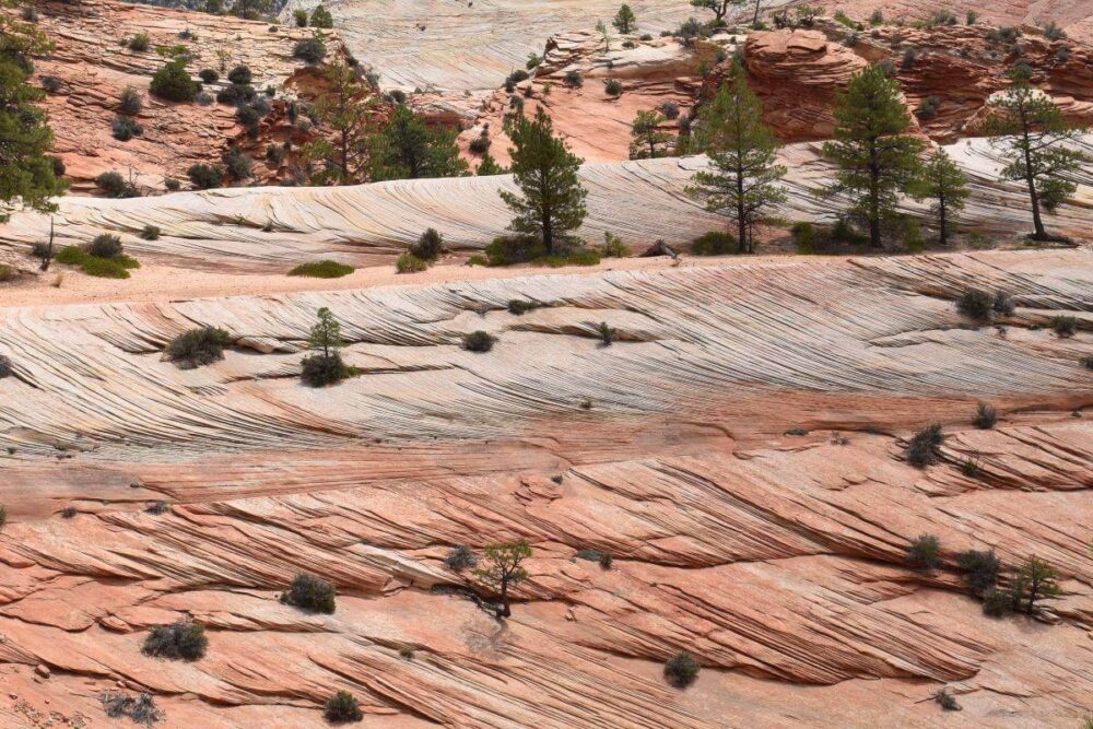
It was only 72 miles (115 kms) to our next destination, Zion NP. On the way to Zion is the Zion-Mount Carmel Highway; a spectacular drive. Along the drive is the Checkerboard Mesa and the trailhead for the Canyon Overlook Trail offering great views across Zion National Park.

Moving around Zion National Park
There is limited park accommodation. Springdale; just outside the park, is the best place to stay with a good choice of independent places to eat. We stayed in Hurricane, which was cheaper but further away.
You cannot drive into Zion unless lodging there. Regular buses transport you along the floor of the park that don’t need to be booked in advance, these can be taken from the national park centre or Springdale.
There are multiple points where you can hop on and off the bus - the two main highlights are Angels Landing (shuttle stop 6) and the Narrows (the last stop).
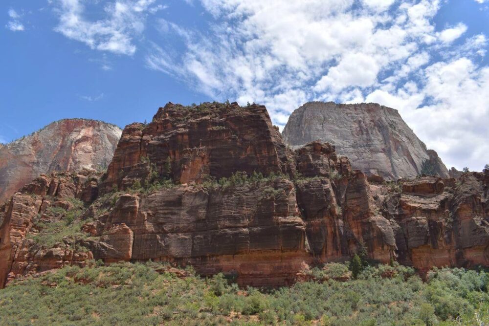
Angels Landing
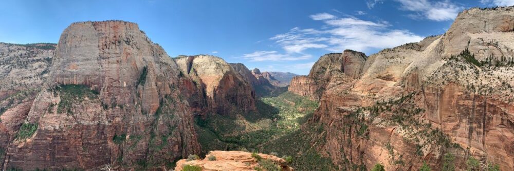
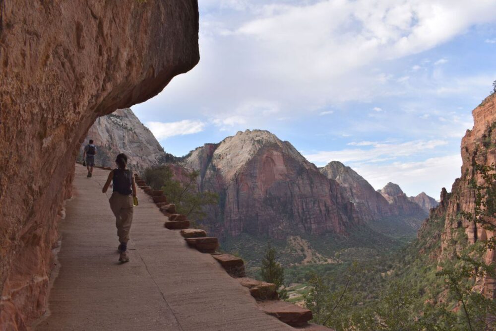
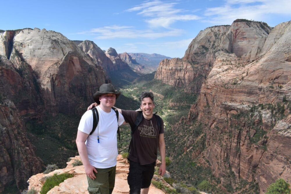
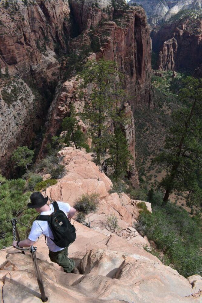
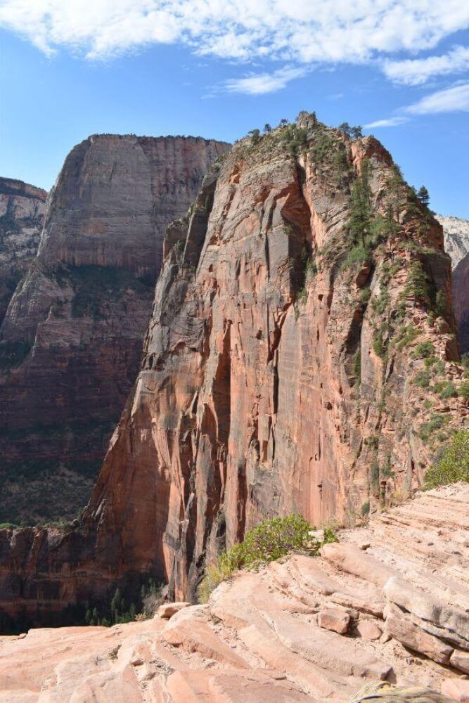
Angels Landing is one of the world's most spectacular day hikes. Most of the hike is straightforward until arriving at Scout Lookout, offering aerial views into Zion Canyon. This is a good turnaround point if you lack the stomach for the final and hair-raising 500-vertical-foot push to the top of Angels Landing at 5,790 feet. Between 2000-2022 there were 13 known deaths from falls; although there is a chain railing beyond Scout Lookout, care is needed.
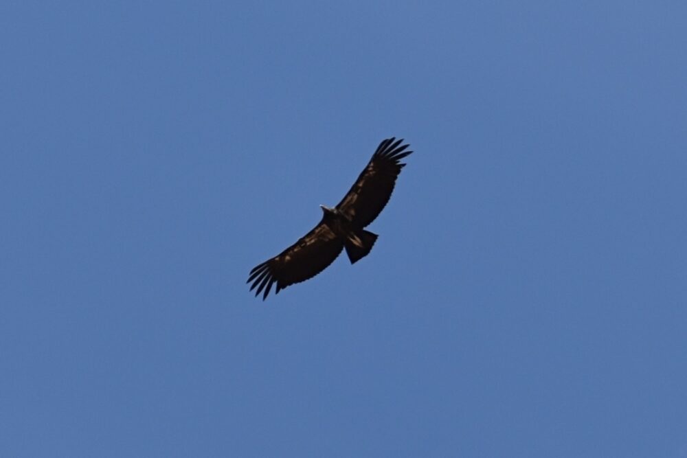
I would allow 5 hours for a return trip. Just as we did, you may see the endangered Californian Condor, the largest flying bird in North America with a wingspan of 10 feet.
Over recent years Angel’s Landing became overcrowded; currently there is a lottery system (accessed on the National Park website) for those hoping to undertake this walk. There are maned checkpoints close to the trailhead and past Scout Lookout.

The Narrows - beware of flash floods
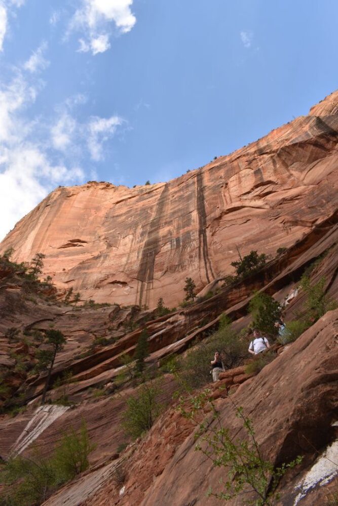
The Narrows, with walls a thousand feet tall, is the narrowest section of Zion Canyon. You can see the Narrows by hiking along the paved, wheelchair accessible riverside walk for one mile from the Temple of Sinawava.
If you want to see more then be prepared to get wet as you will be walking upstream. You can simply go for a little paddle, or the more adventurous can spend all day wading upriver. Water levels are lower in the summer, in July the water varied from ankle to occasionally waist depth. Summers storms can cause life-threatening flash floods. The Narrows will be closed if a warning is issued by the National Weather Service, and for two hours after the warning is lifted.
Bryce and Zion were destinations I dreamt about for years - they didn't disappoint. Next stop, Arizona.