Death Valley National Park | 10 things to do in the summer
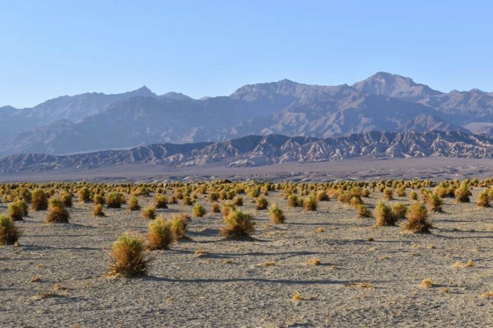
America’s lowest, hottest, and driest national park, adventurous visitors enjoy Death Valley for its many extremes. The name doesn’t do justice to the vibrancy of Death Valley, which offers an amazing variety of landscapes for photographers. From valleys to sand dunes to canyons to salt flats to colourful wildflowers, you can come away with many photos from one national park yet people will think you visited many different locations.
Death Valley - an overview
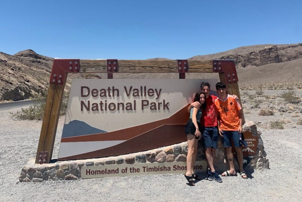
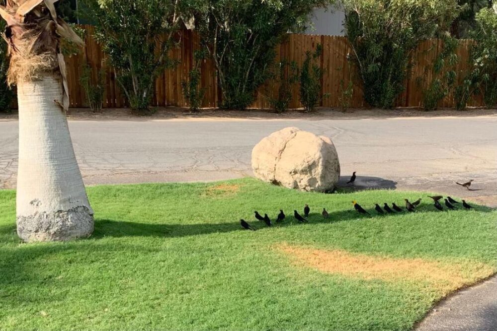
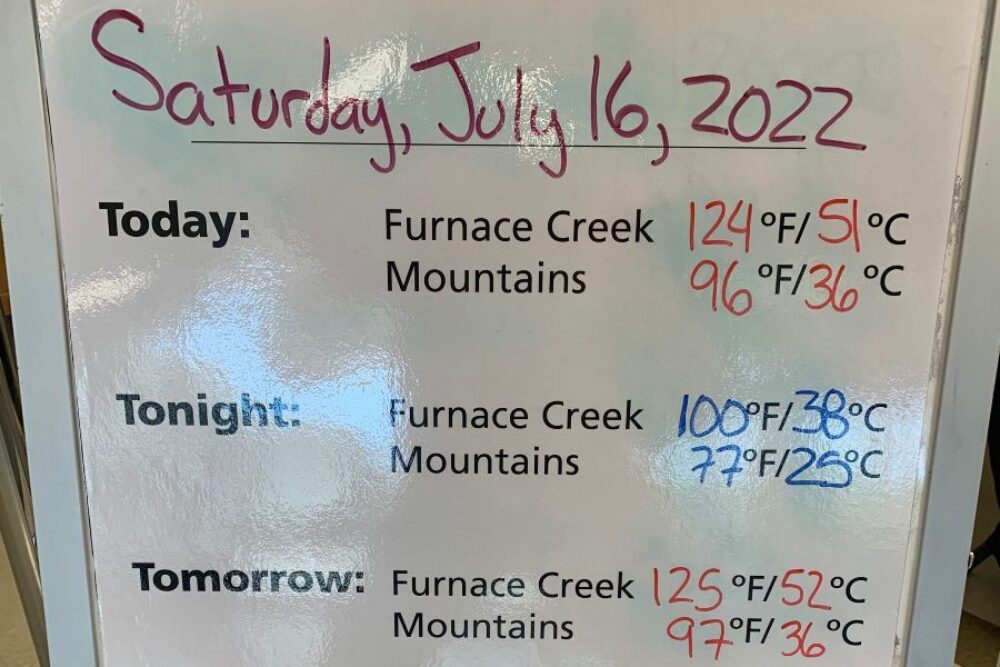
Picking when to visit Death Valley depends on what you want from your experience. For us, it was partly about the extreme heat, and at a temperature of 52 degrees Celsius (125 ºF) in the shade, we got a pretty good feel for things! It goes without saying that summer is not primetime hiking season - my daughter and I drove to Zabriskie point for sunrise, even before the sun made an appearance it was 38 degrees Celsius (100 ºF)! As you will see below, even the birds take what shade there is in the summer! It is not often that I use exclamation marks, let alone 4 in one paragraph!
If you are keen to hike in Death Valley, Spring is the most popular time. Besides warm and sunny days, the possibility of spring wildflowers is a big attraction. If the previous winter brought rain, the desert can put on an impressive floral display, usually peaking in late March to early April. To get a better understanding of the U.S. National Parks please read by blog on National Parks of the United States - an Overview.
Below, are arguably the Death Valley Top 10, the first seven of which are within good distance from the accommodation at Furnace Creek. 5 rules about driving in Death Valley - make sure your car is in good shape, carry lots of water, don't run out of fuel, don't take your car where it is not recommended, and keep your eyes on the road ... the biggest cause of death in Death Valley is road traffic accidents!
1. Zabriskie point (drive time from Furnace Creek 10 minutes)
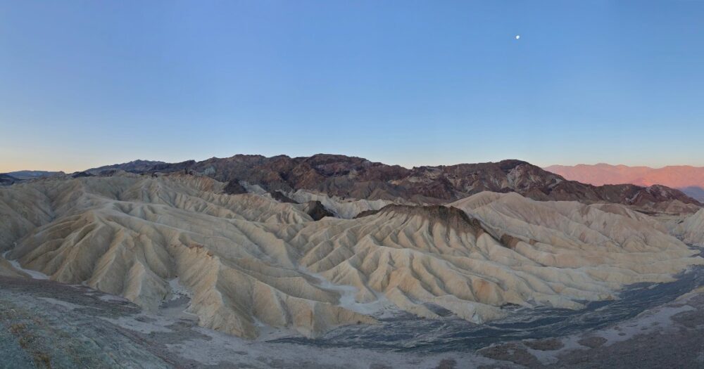
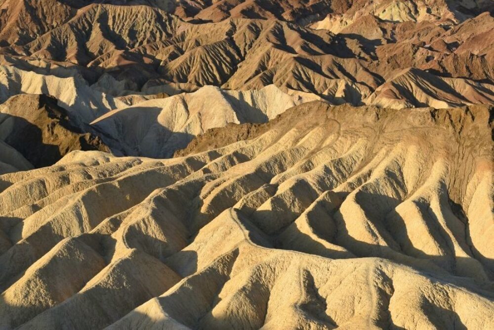
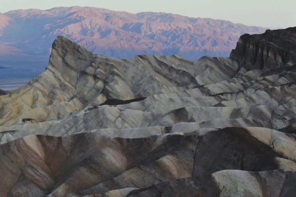
The spectacular views from Zabriskie Point are some of the most photographed in Death Valley National Park, especially at sunrise (or sunset).
Interesting facts:
- The U2 album cover for the Joshua Tree (my favourite album) is shot at Zabriskie Point
- The highest point of the Badlands (the view from Zabriskie Point) is called Manly Beacon, not because it stands up strong. Instead, the name is from a guide who led some ill-fated 49ers out of Death Valley
- Composed of sediment from Furnace Creek Lake, which dried up nearly 5 million years ago, this jagged landscape was used to represent the surface of Mars in the film, Robinson Crusoe on Mars
2. Dante's View (drive time from Furnace creek 35 minutes)
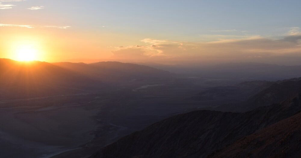
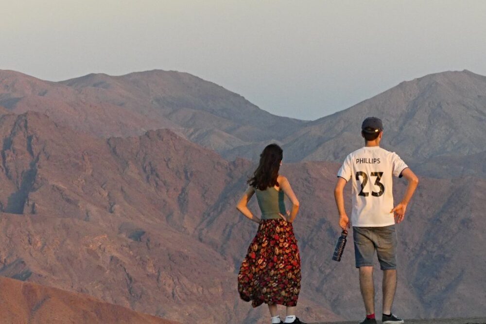
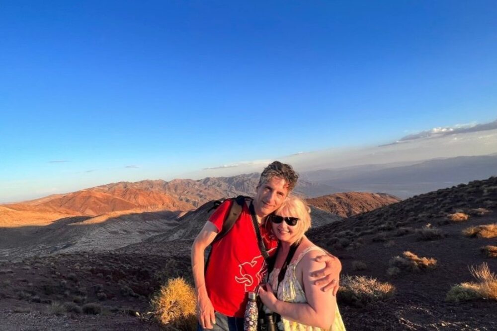
Towering 5,575 ft (1,699 m) above Badwater Basin, on the ridge of the Black Mountains, Dante's View is another favourite spot for photographers. Sunrise and sunset are especially magnificent here, and although this area is popular, it is easy to find solitude and set up the perfect shot with a short hike along the ridge to the north. More adventurous hikers can continue along the ridge to Mt. Perry, an 8 mile round-trip journey with approximately 1,200 ft (366 m) of elevation gain.
Dante’s View is breathtaking at night - Death Valley National Park is an International Dark Sky Park providing good views of the Milky Way and stars above. A visit during a full moon is equally as grand, as the salt flats below glow a ghostly white.
Interesting fact - Dante's View was used in Star Wars IV: A New Hope. Obi-Wan, Luke and the droids stood here overlooking the spaceport city of Mos Eisley (in our world known as Furnace Creek village).
3. Devil's Golf Course (drive time from Furnace creek 15 minutes)
Devil's Golf Course, Badwater Basin, Artists Drive, and Golden Canyon form a nice loop.
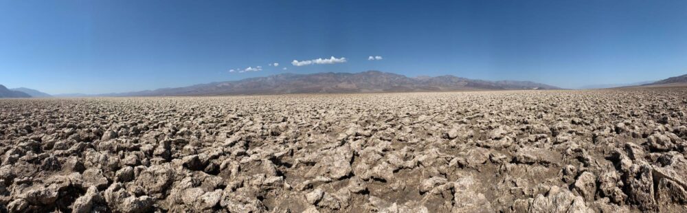
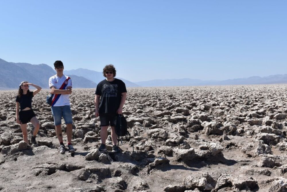
Devil's Golf Course is an immense area of rock salt eroded by wind and rain into jagged spires. So incredibly serrated that "only the devil could play golf on such rough links." Listen carefully and you'll hear sounds like tiny pops and pings - the sound is literally billions of tiny salt crystals bursting apart as they expand and contract in the heat.
Interesting fact - once covered by a lake, the water evaporated some 2,000 years ago, leaving behind a 1,000 foot-layer of salt and minerals. The Devil’s Golf Course was created over many years as water occasionally rises up through the salt bed and reshapes the formations. When the water evaporates in the blazing heat, the large infernal stalagmites and spiky mounds are what get left behind.
4. Badwater Basin
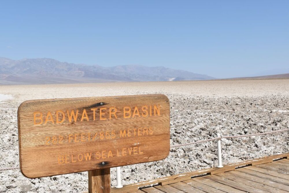
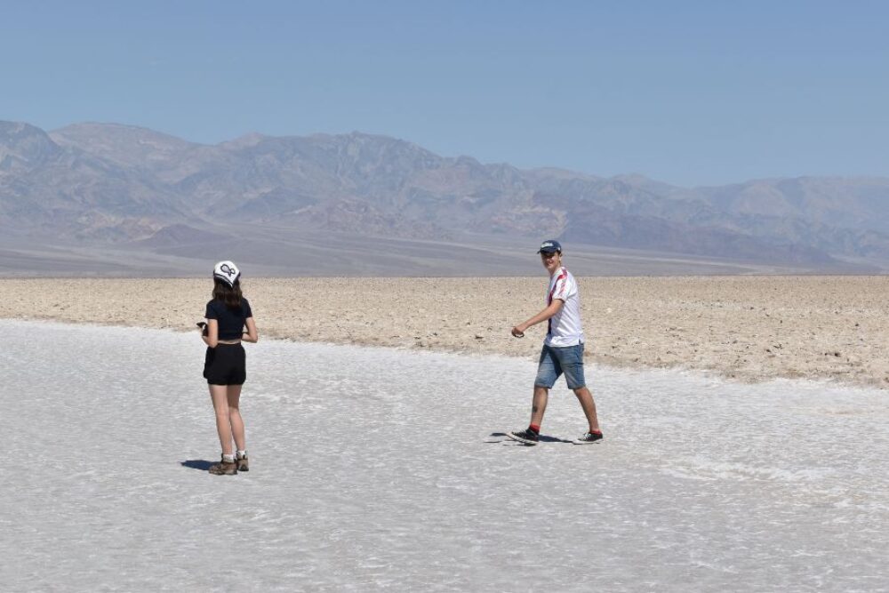
Badwater Basin is the lowest point in North America at 282 ft (86 m) below sea level. The salt flats here cover nearly 200 square miles (518 square km) and were formed as the lake had no outlet, so as it evaporated concentrated salt deposits were left behind. The pool and boardwalk are easily accessible from the parking lot off Badwater Road, but the best views of the salt polygons require an easy 1.5-2 mile (2.4-3.2 km) roundtrip walk out onto the salt flats.
Interesting fact - Badwater Basin is part of the area that holds the record for the hottest air temperature on earth at 56.7 ºC (134.1 ºF) set in 1913.
5. Artists Drive
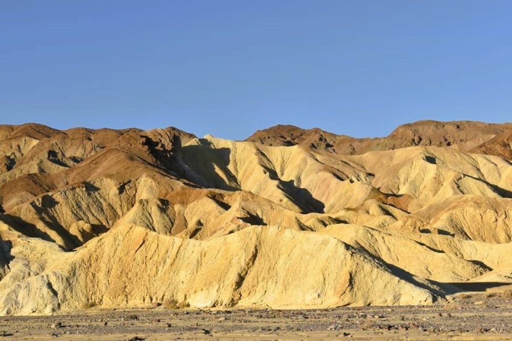
The most popular scenic drive in Death Valley National Park; this nine mile (14.5 km) paved road winds through multicoloured, eroded hills. The colourful rainbow hills of Artists Drive were formed by volcanic deposits of different compositions. Artists Drive is beautiful any time of day, but the colours are most dramatic during afternoon light. There are several point to stop, of which the most impressive is Artists Palette.
Interesting fact - the area around Artist's Palette was used in Star Wars Episode IV: A New Hope.
6. Golden Canyon (drive time from Furnace creek 7 minutes)
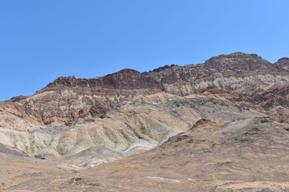
A labyrinth landscape of golden coloured hills and winding narrow canyons create hiking options ranging from easy strolls to strenuous adventures. These canyons are the area that can be seen from Zabriskie Point.
Interesting fact - one to beware of. Although it doesn't rain much in Death Valley, the Golden Canyon is one of the most dangerous areas during flash floods. On August 5, 2022, unprecedented rains caused severe flash floods across Death Valley National Park. These flooding events brought large flows of debris across roads, damaging and ultimately closing all roads in the park. In just a few hours, the park received three-quarters of its 2.20-inch annual average rainfall, making this the rainiest day in recorded history at Death Valley.
7. Mesquite Flat Sand Dunes (drive time from Furnace creek 25 minutes)
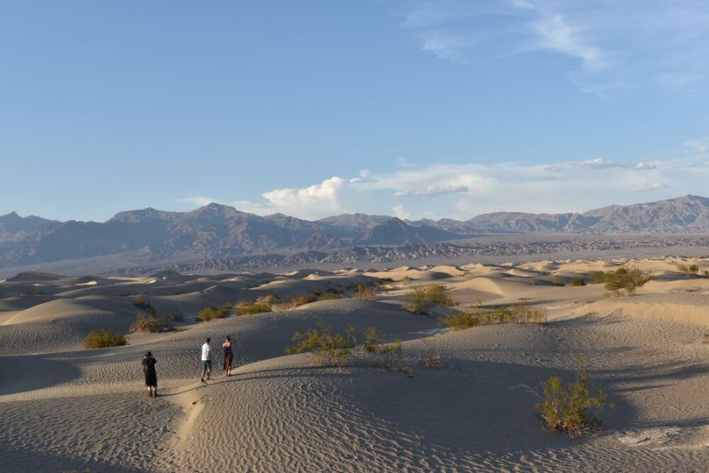
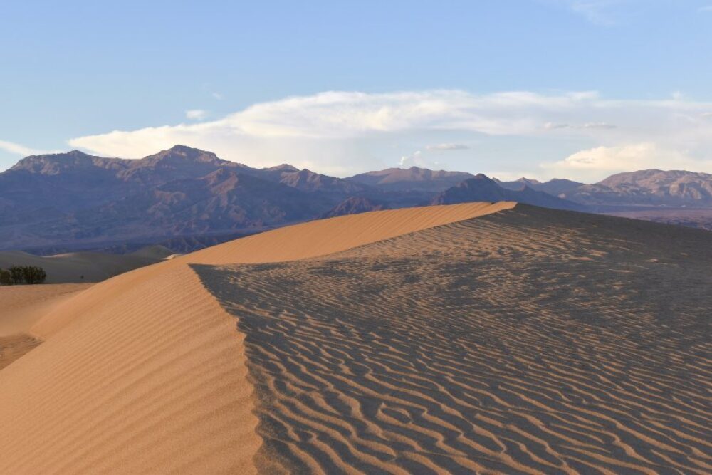
These dunes are the best known and easiest to visit of all the dunes in the national park. Located in central Death Valley near Stovepipe Wells, access is from Hwy. 190. Although the highest dune rises only about 100 feet, the dunes actually cover a vast area.
Mesquite Flat Sand Dunes include three types of dunes: crescent, linear, and star shaped. Polygon-cracked clay of an ancient lakebed forms the floor. Mesquite trees have created large hummocks that provide stable habitats for wildlife.
Interesting facts:
- The ground temperature in the dunes can run between 30 and 60 degrees (Fahrenheit) hotter than the air temperature. We ventured in to the dunes one evening, and within a few minutes started to feel unwell, not surprising given that the ground temperature was likely to be similar to that of an oven!
- Another Star Wars fact - the dunes proved to be the perfect filming location for C3PO and R2D2’s trek through the deserts of Tatooine. Apologies if you don't like Star Wars!
8. Ubehebe Crater
Numbers 8-10 on this list are all significantly further away from Furnace Creek - the driving time to Ubehebe Crater is 70 minutes.
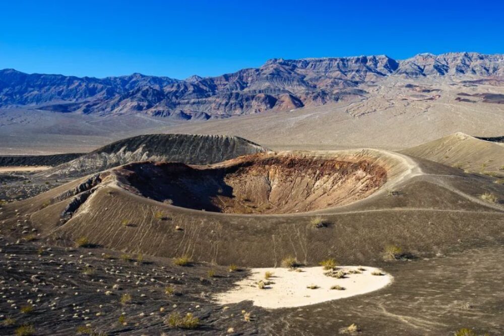
Although Ubehebe Crater is only one of about a dozen craters in the Ubehebe volcanic field, it is the largest and youngest at an estimated 2,100 years old. The crater is approximately 600 feet deep and half a mile across. Ubehebe is easily viewed from the parking area, but an easy/moderate trail (1.5 miles/2.4 km) along the rim, allows hikers to marvel at the crater from all sides.
Interesting facts - Ubehebe is pronounced YOU-bee-HEE-bee. I am not aware that this featured in any of the Star Wars movies 😊, but I could be wrong.
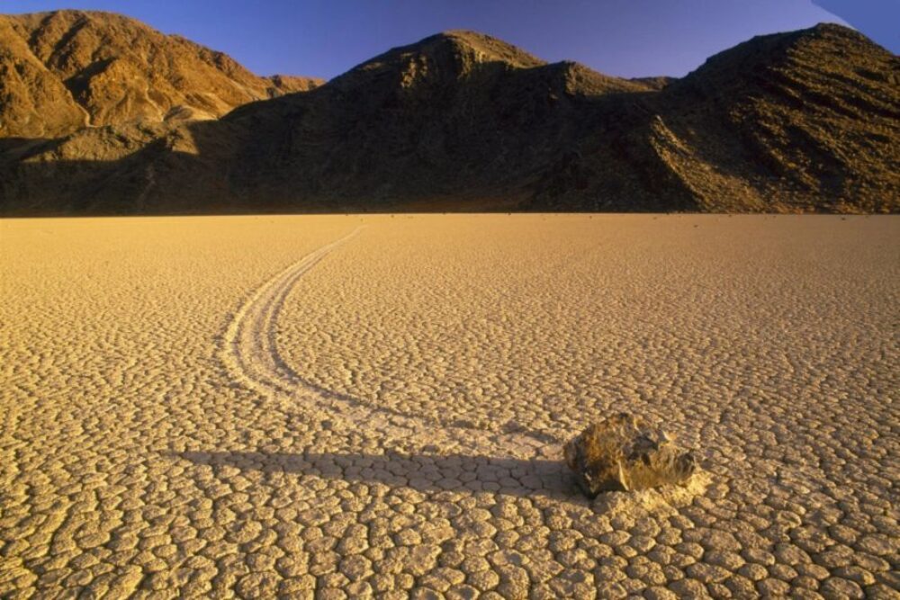
9. The Racetrack
We did not venture here (apologies for borrowing someone's photo), as the road to the Racetrack is rough, and is not recommended for standard vehicles. Additionally, the drive time from Furnace Creek is at least 3.5 hours each way, and with no mobile phone coverage this is not an area to break down, especially in the summer.
The Racetrack is a playa - a dry lakebed. If you do get the chance to venture here, the Racetrack is said to be a place of stunning beauty, nestled in a remote valley between the Cottonwood and Last Chance Ranges.
Interesting fact - the Racetrack is best known for its strange moving rocks. At the time of writing, the last suspected movement was in 2006. There is evidence that the frequency of rock movement, which seems to require cold nights to form ice, may have declined since the 1970s due to climate change. For the best views of the rocks and their tracks on the playa, drive two miles south of the Grandstand parking area and then walk at least a half mile toward the southeast corner of the playa.
10. Lee Flat Joshua Trees (drive time from Furnace Creek, a long time!)
Although Lee Flats has the finest stands of tree-sized yuccas in the park, it is probably not worth a visit unless you are entering the park from the West. We had already seen other Joshua Trees while on our road trip so decided not to go to Lee Flats.
Interesting facts about Joshua trees - they are not trees. They grow at a rate of ½ to 3 inches per year, fast for desert vegetation.