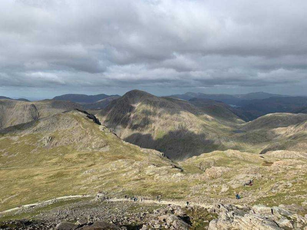
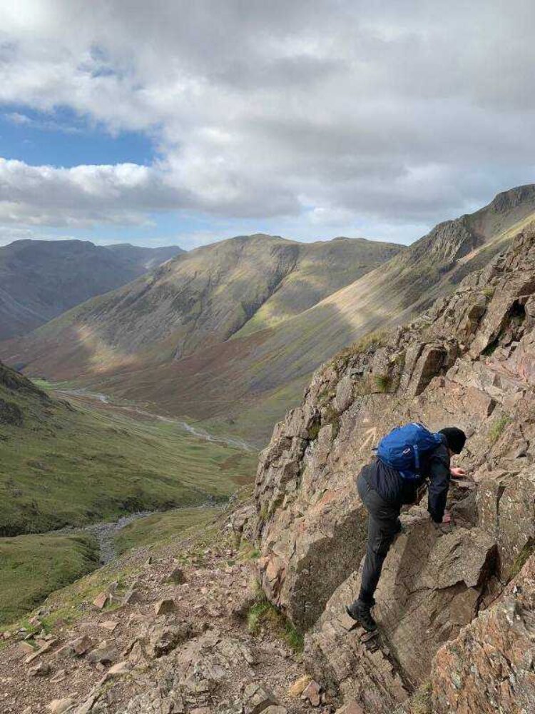
The Lake District - my top 10 walks
The Lake District National Park, situated in the Northwest of England, has countless beautiful hikes. So as to whet your appetite I have listed my top 10, from easy to more difficult - I have not gone into detail as there are endless websites doing this for you. As with all areas of higher altitude, act responsibly by checking the local forecast and be well-prepared as weather conditions can sometimes change quickly and unexpectedly.
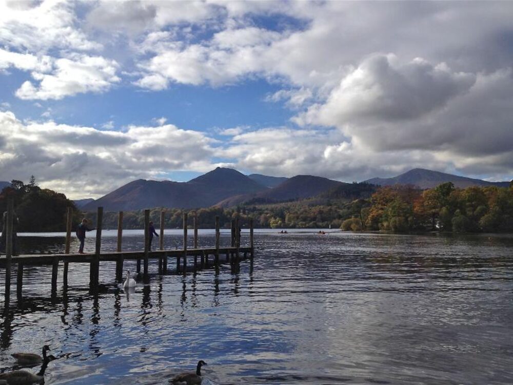
1. Derwentwater - lake walk
Difficulty - easy, flat terrain
Distance - 10 mile loop
Time - 3-4 hours
Recommended starting point - by the lakeshore at the Keswick Launch in the southwest corner of the lake.
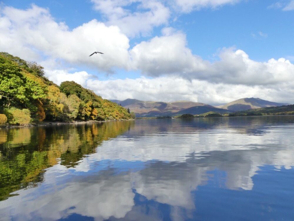
The Derwentwater lakeside walk is a waymarked path which will take you on a 10 mile scenic walk around Derwentwater, Queen of the Lakes. On flat and easy paths, the walk passes through ancient woodlands and along the lake shores. The scenery is stunning, and there are perfect picnic stops and cafés en-route. If you choose to make the walk shorter there are multiple stops around the lake where you can get on and off the ferry. The lovely town of Keswick is only 0.5mls from the starting point.
2. Tarn Hows Circular Walk
Difficulty - easy, flat terrain
Distance - 2 mile loop
Time - approximately 1 hour for a leisurely stroll
Recommended starting point - Tarn Hows Car Park. Do not follow Sat Nav, instead follow signs for Tarn Hows from the B5285, Coniston, or Hawkshead Hill.
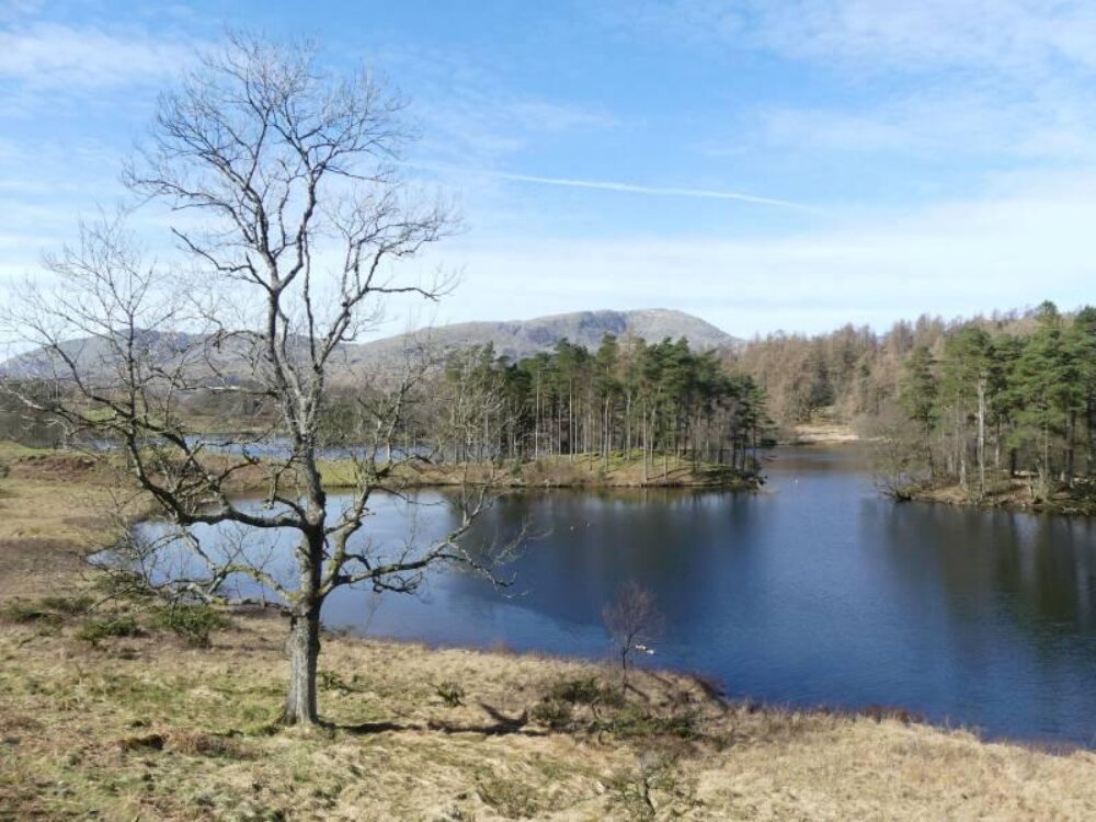
Tarn Hows is a man-made beauty spot. In Victorian times a beck was dammed creating the tarns you see today. The Hows are the surrounding small wooded hills. The path around the tarn is pushchair friendly. The area is a very popular walking spot, even out of peak season, and therefore it is advisable to arrive before 10am in order to be guaranteed a car parking space.
Black Fell
If you have the time while at Tarn Hows, and the weather is kind to you (good luck on that one - the Lake District is full of lakes for a reason!) it is well worth the hike from Tarn Hows up to Black Fell, which as a return walk will take some 2-3 hours - this is not pushchair friendly.
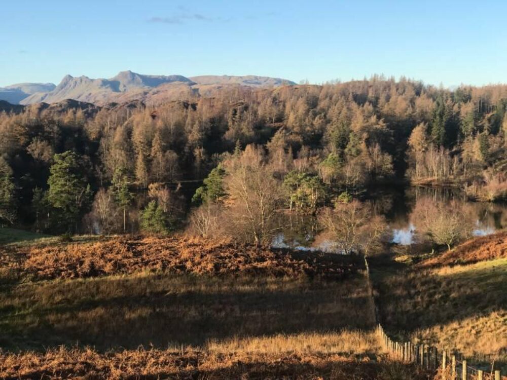
From the Tarn Hows car park return to the road and cross over to the lake, bearing right on the path. Then bear left to follow the gravel circular lakeshore path anticlockwise. Drop down to the gate beside the water, go through, and follow the path as it meanders upwards. There are occasional small yellow footpath signs marked "Cumbria Way". After 300m turn left at the signpost marked "Arnside and Langdales" and continue to the gate at the end. Go through onto the track and turn right at the signpost "Iron Keld" carrying on upwards to reach Black Fell. From the summit comes the reward with superlative views of the lovely old farmhouse known as Low Arnside with the backdrop of the Langdale Pikes.
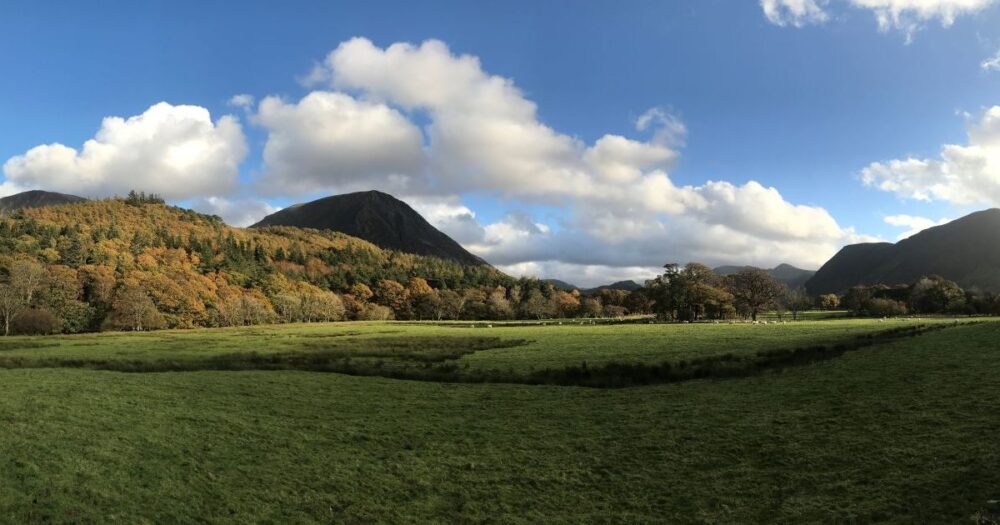
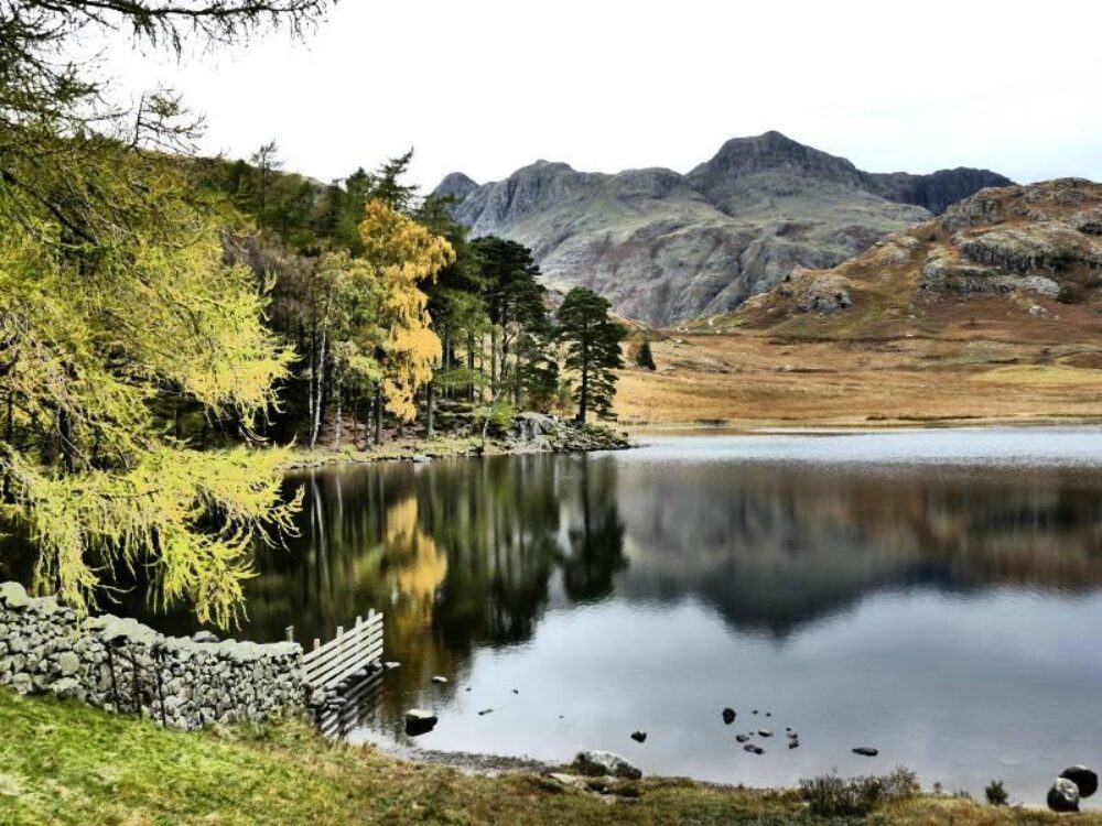
For another nice view of the Langdales, Blea Tarn is a beautiful spot, although the roads up to here are rather narrow (image bottom right).

3. Haystacks (and Buttermere)
Difficulty - moderate, some scrambling, 600 metres vertical
Distance - 5 miles
Time - 3 hours
Recommended starting point - near the head of Buttermere, at Gatesgarth Farm. There is a small car park.
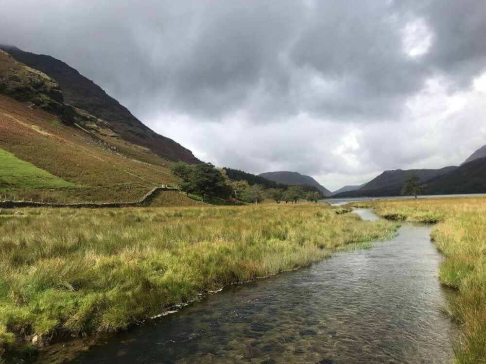
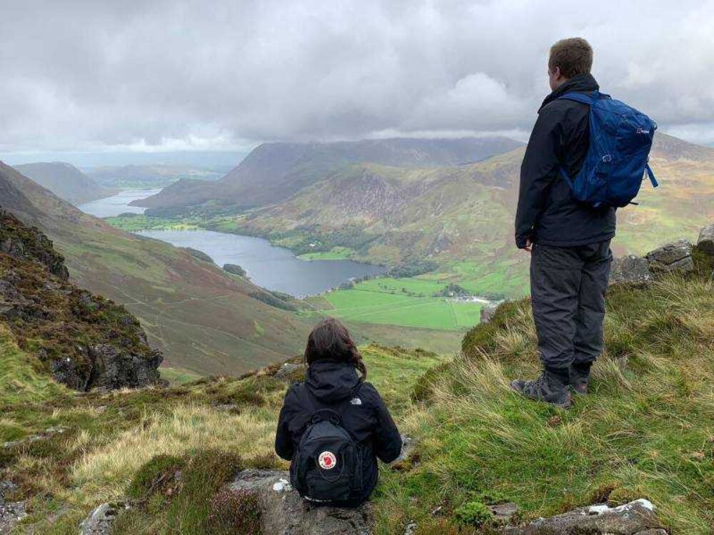
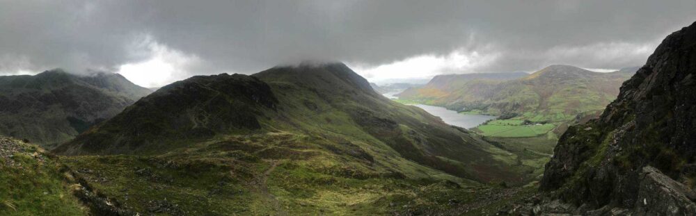
The Wainwrights are the 214 English peaks (known locally as fells) described in Alfed Wainrigtht's Pictoral Guide to the Lakeland Fells. They all lie within the boundary of the Lake District National Park, and all but one (Castle Crag) are over 1,000 feet (304.8 m) in height. Over two million copies of the Pictorial Guides have been sold since their publication. Despite of its lowly stature compared to its neighbours, Haystacks was a favourite of Alfred Wainwright's with its stunning views over Buttemere and the surrounding fells.
If you fancy an easier walk then the circular 4.7 miles around lake Buttemere is one of the nicest lakeside walks in the national park. Whilst there is quite a bit of parking around Buttermere, on summer weekends it gets busy early. There is a car park behind the Bridge Hotel, on the outskirts is a National Trust car park, and there are some spaces on the verge above the Newlands Pass road junction.
4. Blencathra
Difficulty - moderate, less so if you avoid the scramble of Sharp Edge. 860 metres vertical
Distance - 8 miles
Time - 4 hours
Recommended starting point - a small parking area above the tiny village of Scales. There is limited parking so it is advisable to get here early.
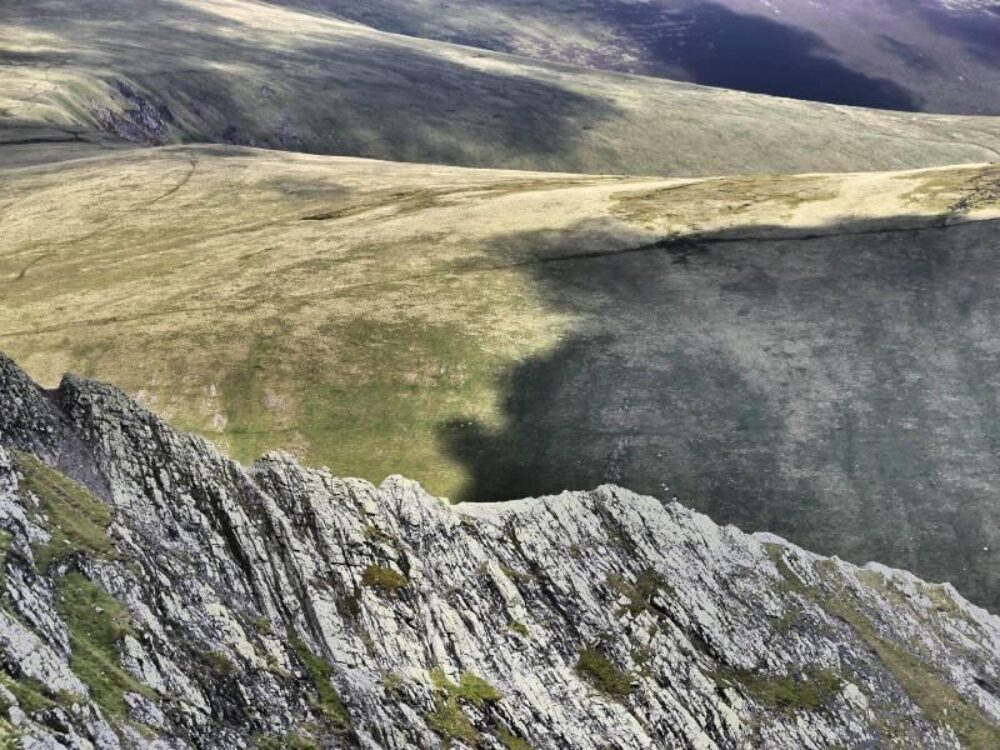
Situated in the northeast of the Lake District this is a stunning walk of outstanding contrasts - as you reach the summit the vistas over the Lakes are beautiful, while on the walk back the views over the rolling hills and valleys beyond are equally impressive. For those not keen on scrambling, a route can be taken avoiding Sharp Edge. It is not a hike recommended in poor weather due to the relatively featureless expanse of the common, equally, Sharp Edge should be avoided in snow and ice, unless you are an experienced climber with the correct equipment.
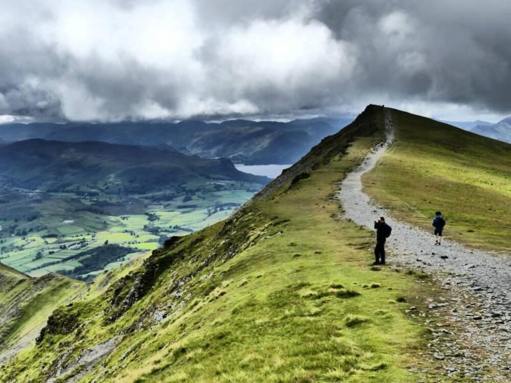
5. Old Man of Coniston circular walk
Difficulty - moderate, some steep sections, 780 metres vertical
Distance - 6.5 miles
Time - 4 hours
Recommended starting point - entering the car park at the end of the tarmac on Walna Scar Road (near Coniston) you drive through a gate, immediately on the other side to your right is the start of the trail.
The Old Man of Coniston is a classic Lake District walk, and one of my favourites, with beautiful views and remnants of the region's 800 year mining history scattered throughout the walk.
The route down includes a visit to Dow Crag, Buck Pike, and Brown Pike.


6. Wastwater (or Wast Water) Circular Walk
Difficulty - moderate
Distance - 7.9 miles
Time - 3.30 hours
Recommended starting point - to reach the trailhead for the Wastwater Circular Walk from Nether Wasdale, drive east for 0.3 miles and make a left turn, following the road for 1.2 miles before making a slight right.
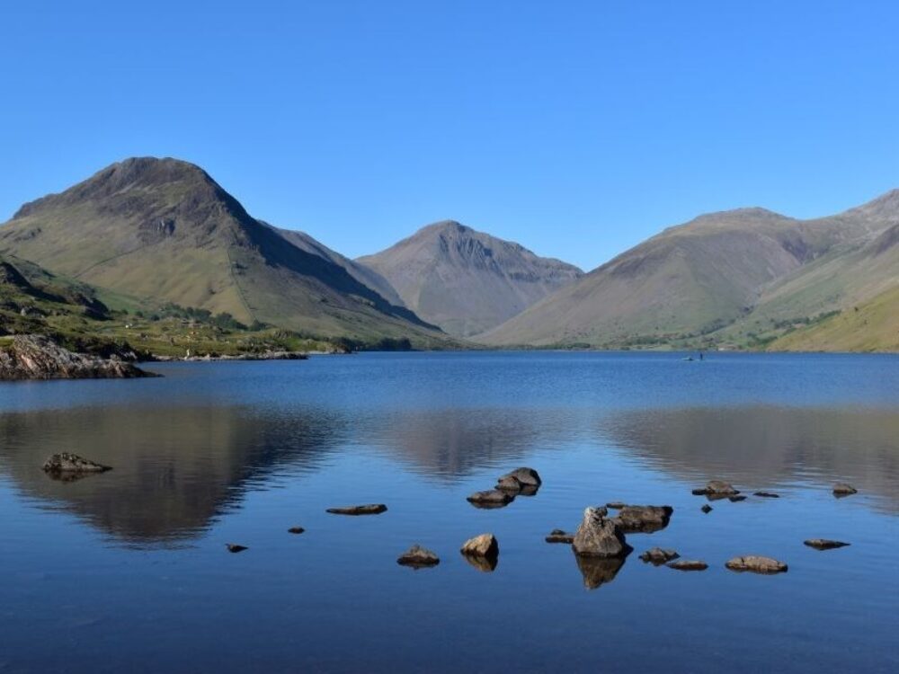
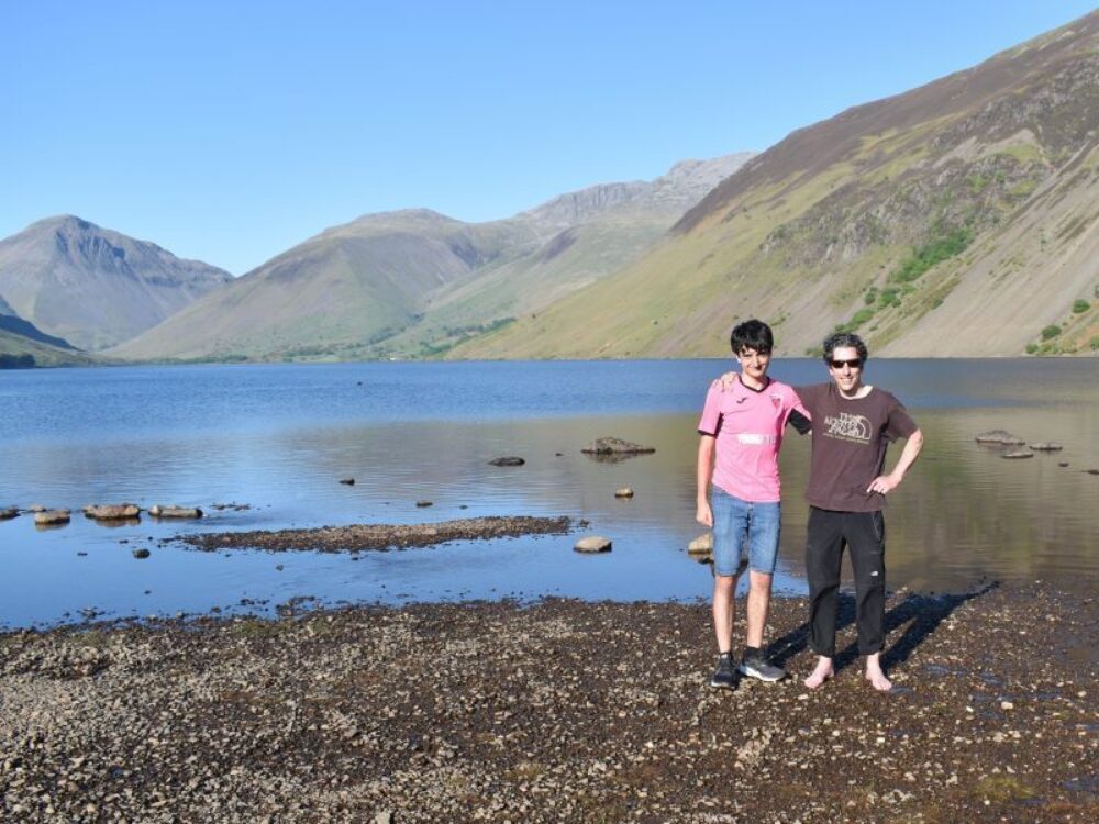
Situated in the Wasdale Valley, Wastwater is 3 miles long, and at 260 feet deep, the deepest of all the lakes. Surrounded by the mountains, Red Pike, Kirk Fell, Great Gable and Scafell Pike, Wastwater is perhaps the most awe-inspiring of all the lakes. When planning a trip to Wastwater bear in mind that it is some distance from the heart of the Lake District, and the narrow road leading to the lake can get very busy on good weather days.
7. Roman High Street Circuit
Difficulty - moderate, some steep sections, 754 metres vertical
Distance - 10 miles
Time - 5-7 hours
Recommended starting point - from the end of the parking lot at Hartsop village, walk out and immediately cross the bridge over Pasture Beck (a stream). Head along the path, when it branches take the left-hand side, continuing along a well-defined path above the stream. The path slowly curves to the right as it heads up the valley.
This fine walk takes you through an untouched valley then up to the summit of Thornthwaite Crag. From there explore the wonderful views along a horseshoe plateau before heading a route that takes you past the stunning Angle Tarn - the temperature of the very shallow tarn is a lot warmer than one might expect, so much so that we ended up skinny dipping .... photos excluded! High Street is named after the Roman Road crossing the plateau that used to join two forts in Penrith and Ambleside.
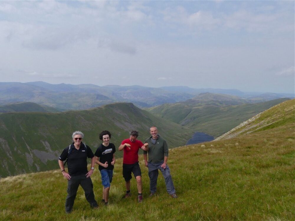

8. Helvellyn via Striding Edge
Difficulty - moderate to difficult, 900 metres vertical
Distance - 8.7 miles
Time - 4-5 hours
Recommended starting point - in the village of Glenridding
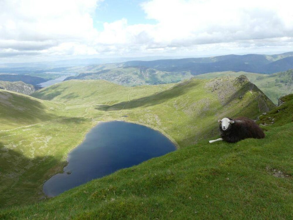
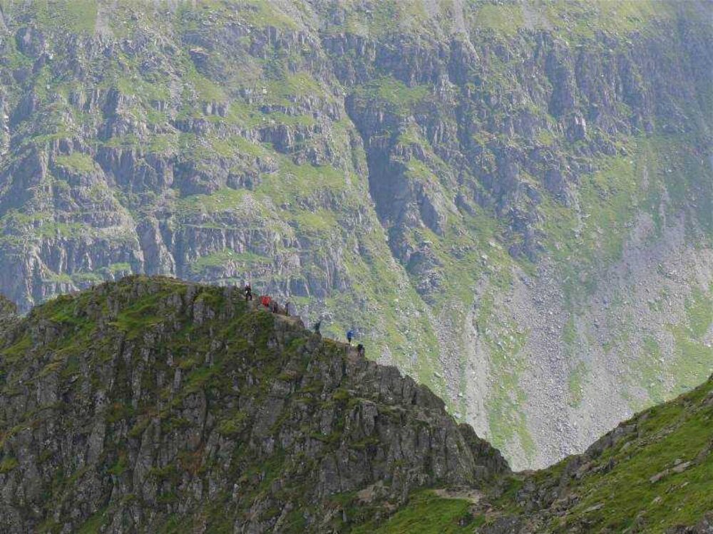
Helvellyn is the 3rd highest mountain in the Lake District (and England) and was recently voted Britain’s most popular walk. There are many fine ways to climb Helvellyn but an ascent via Striding Edge has to be considered the most spectacular. With care, and in the right conditions, this narrow ridge should not present too much of a challenge, however, without care and/or in the wrong conditions people still occasionally fall sustaining serious or fatal injuries. Beyond the ridge the final ascent is easy with a broad path, so much so that in 1926 an aeroplane was flown to the summit, managing to land and subsequently take off.
9. Newlands Horseshoe Circuit
Difficulty - moderate to difficult (due to distance), 992 metres vertical
Distance - 12 miles
Time - 7-8 hours
Recommended starting point - park at a farm in Little Town, where a cafe is open during the day. Exit the car park and go right, walking down a hill and passing another parking lot before crossing a stream at approximately 365m. Take the first left after the stream, pass a church, and continue ahead on the paved road.
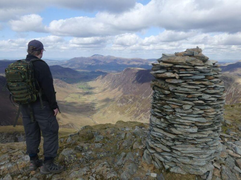
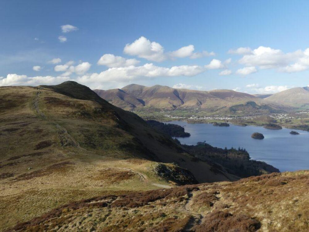
This is one of my favourite walks in the Lake District and will keep you entertained for the best part of a day. Good visibility is a must as the views throughout are engaging and you will see many of the Lakeland peaks during the circuit. The final descent from Catbells, with Derwentwater below, is particularly rewarding.
10. Scarfell Pike
Difficulty - moderate with some short scrambling sections, 970 metres vertical
Distance - 9.4 miles
Time - 6-8 hours
Recommended starting point - the farmstead at the terminus of the road in the small hamlet of Seathwaite in Borrowdale.
At 978 metres Scafell Pike is the highest peak in England. There are several routes up Scarfell Pike, but the one from Seathwaite is my favourite walk in the Lakes. The views down the valleys along the Corridor Route are beautiful, and the short scrambles fun. On a clear day the views from the summit are spectacular as you can see Scotland, Wales, Northern Ireland, and the Isle of Man.