Austria and Slovenia's Triglav National Park
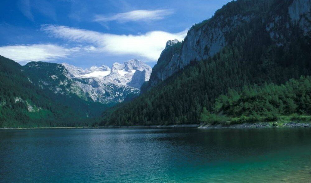
Austria is a country that is as well known for its scenic beauty as it is for its cultural activities. It may look small on the map, but most of Austria is vertical, so there’s always another hairpin-riddled lane, off-the-radar village or knockout alpine view to discover. Our two-week circular trip took us through the heart of Austria and then south across the border to the fabulous Triglav National Park in the northwest of Slovenia. Triglav National Park, one of the largest national reserves in Europe, is a pristine, visually spectacular world of rocky mountains, lakes, canyons, and forests – the centrepiece of which is Mt Triglav (2864m), the country's highest peak.
The geography of Austria
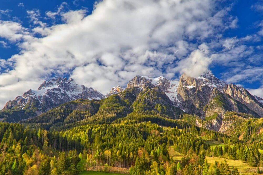
Approximately 62 percent of Austria is mountainous with 13 peaks of a height of 3,000 meters or more, and 34 peaks that exceed 2,000 meters. Austria is landlocked sharing national borders with eight countries: Switzerland, Liechtenstein, Germany, the Czech Republic, Slovakia, Hungary, Slovenia, and Italy - only Germany has more with nine. Austria is one of the world’s most eco-friendly countries, and one-third of the country’s forested lands are protected areas.
Austria's climate is moderately continental, with cold winters and warm summer (ps - if you are not familiar with my blogs, clicking on the figures below expands them, while clicking on any images will reveal the location).
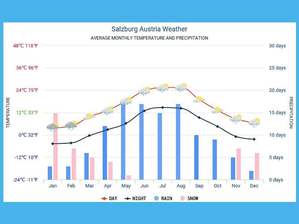
Salzburg - a beautiful town
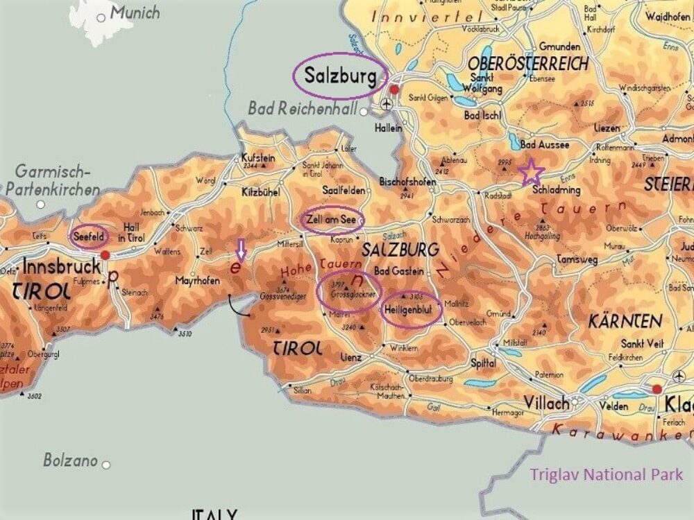
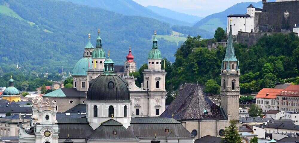
Our trip started in Salzburg (circled on the map - the town as opposed to the region), an attractive town dominated by churches, castles, and palaces. It is the fourth-biggest city in Austria and is well served by an airport, which is only 20 minutes away from the city centre.
Salzburg is mainly famous for the old town (a UNESCO World Cultural Heritage site); its Baroque architecture; as the birthplace of Wolfgang Amadeus Mozart; the world-class summer Salzburg Festival, a series of opera, concerts and theatre performances; and as the place where the Sound of Music was filmed in 1965. The Sound of Music tour takes you to film locations in Salzburg and in the scenic Alpine region of Salzkammergut.
One of our highlights in Salzburg was a visit to Hohensalzburg Castle, which from its lofty position on top of Mount Festungsberg affords brilliant views of the spires and rooftops of Salzburg. Other sites of interest include the Cathedral and Franciscan Church, Mozart's birthplace at Getreidegasse, and the Mirabell Gardens.
West to Seefeld
From Salzburg we headed west to Seefeld (circled on map), an old farming village, now a major tourist resort. The most direct route to Seefeld takes a little more than two hours by car from Salzburg, however, if you are enthralled with the film Where Eagles Dare you may wish to take a slightly longer route to take in the Hohenwerfen Castle, which was the setting for the film.
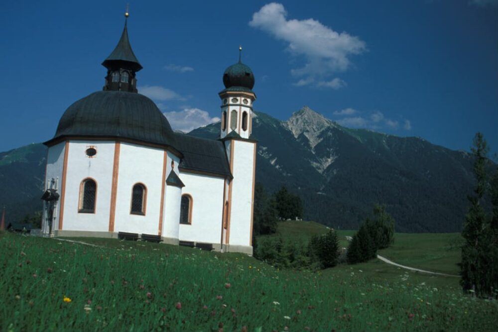
The charming village of Seefeld provides access to 650 km of superb walking and mountain bike trails, via ferrata climbing routes, and the Wildersee Lake, which is perfect for swimming. Detailed information on hiking trails and other outdoor activities can be found on the Seefeld website. While in Seefeld it is well worth the short walk to the Seekirchl, a 17th century small baroque church with an onion dome set on an alpine meadow.
Krimml Waterfall - central Europe's largest waterfall
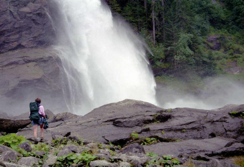
Moving back east we stopped at the Krimml Waterfall (map - star), which at 380 metres is central Europe's largest waterfall and the 5th largest waterfall in the world. From the southern end of Krimml village it is a 4 km (approximately 90 minutes) hike to the top, which takes you past the lower and middle falls, where at the latter you can literally feel the power of the water. At the top of the waterfall is Krimmler Ache, a glacial creek, which is the source of the waterfall.
Another way of getting to the waterfalls is the beautiful Pinzgauer Lokalbahn railway that runs from Zell am See, our next stop.
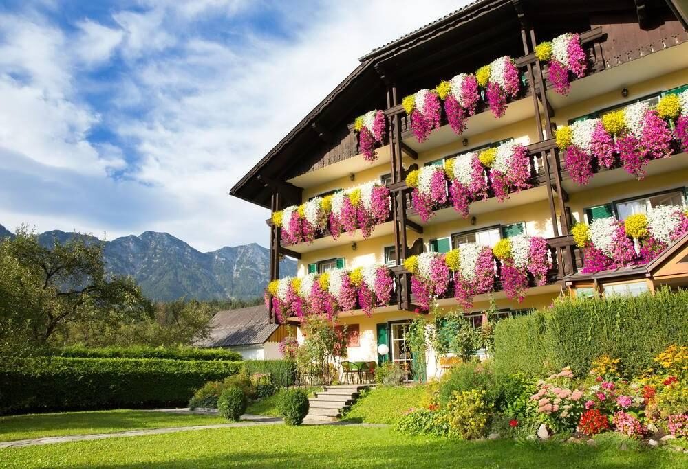
As with our other destinations in Austria we stayed in a 'pension', which is essentially a large apartment. Pensions are usually spacious, of good quality, and provide value from money.
Zell am See and Kaprun
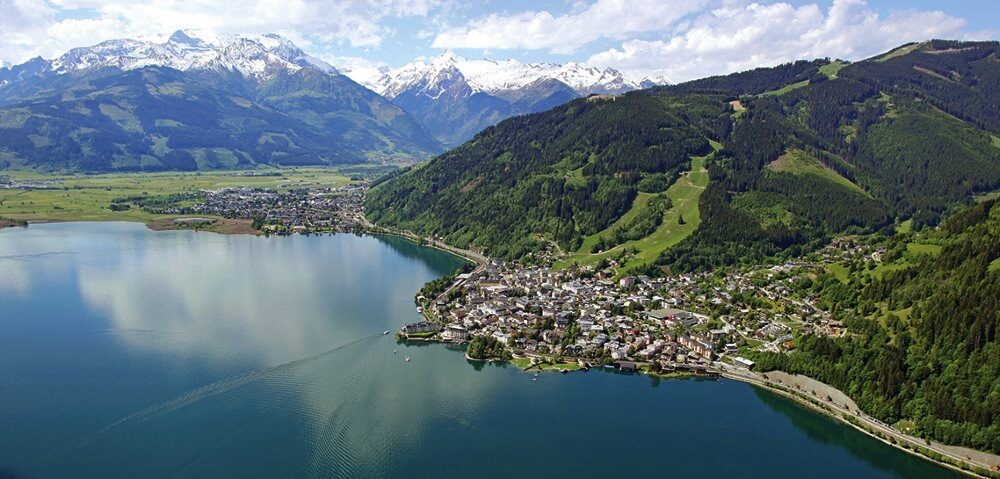
From Krimml waterfalls we headed to the small town of Zell am See (circled on map). Zell am See is located directly at the shores of Lake Zell with swimming beaches, open-air pools, the lakeside promenade, and all kinds of water sports. From Zell am See you can go hiking up the Schmittenhöhe via a cable car, visit the Kitzlochklamm gorge, and if you are unlucky enough to have a rainy day see the world’s largest accessible ice caves at Werfen.
Only a few miles from Zell am See is Kaprun with summer skiing on the glacier, and where climbing fans can experience a vertical experience by way of the via ferrata at the flank of the mighty dam wall of the Kaprun High Mountain Reservoirs. This is the highest situated via ferrata on a dam wall in the world.
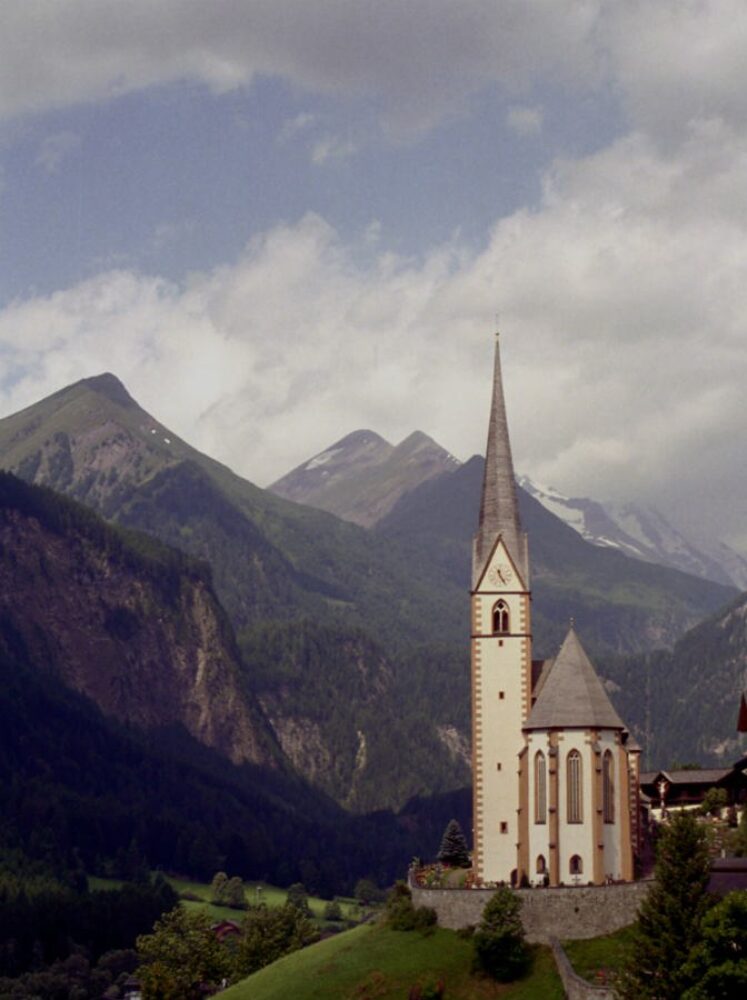
The Grossglockner High Alpine Road and Heiligenblut
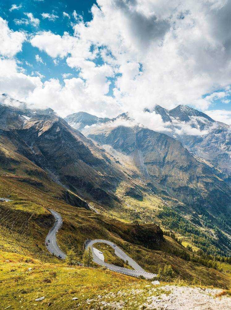
We headed south from Zell am See to take the Grossglockner High Alpine Road, in German the Großglockner-Hochalpenstraße. The road is the highest surfaced mountain pass in Austria. It connects Bruck with Heiligenblut via Fuscher Törl and Hochtor Pass at 2,504 m. The road is named after the Grossglockner, Austria's highest mountain (3798 metres).
The pass has 36 turns, peaking at Kaiser-Franz-Josefs-Höhe, which affords panoramic views of the Grossglockner and Pasterze glacier. From the visitors centre, hiking trails into the Gamsgrube special conservation area of the High Tauern National Park provide unique views and sightings of rare alpine animals, such as the majestic ibex.
Near the start of the Großglockner Hochalpenstraße is the wildlife park Ferleiten where you can see 200 different animals that live in the Austrian alps. At the other end of the pass is the beautiful village of Heiligenblut, which is a great stop for a meal and to enjoy stunning views of the Grossglockner. Just before you get to Heiligenblut is the Möllschlucht climbing ferrata, which runs along 420 m of steel cable through the Möll canyon.
In general, a car is a good option to travel around Austria, although from time to time you may encounter a little surprise where the road stops and is replaced by a railway line. The first time we came across this was on the next section of our trip as we headed south to Slovenia, fortunately these are purpose built lines that transport cars under the mountains.
Across the border into Slovenia
It was a 200 km drive from the Grossglockner region to the Triglav National Park in the North West of Slovenia (map - bottom right). Slovenia declared itself independent from the former Yugoslavia in 1991, although it was not recognised by the European Union until 1992. Slovenia has a population of 2 million and is bordered by four countries, Austria, Italy, Hungary and Croatia. It is a beautiful country, over 50% of its surface area covered by forest.
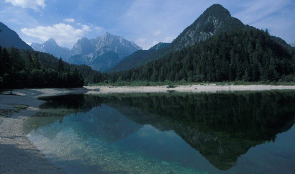
We had just a few days in Slovenia and decided to spend these in the majestic Triglav National Park in the Julian Alps. We used Kranjska Gora as our base. Kranjska Gora is an alpine resort attracting visitors both in the summer, and in the winter for skiing. It is a pretty village that helps facilitate a whole range of outdoor pursuits, and provides good access to the national park including one of our favourite places, Lake Jesna.
Mount Triglav and around
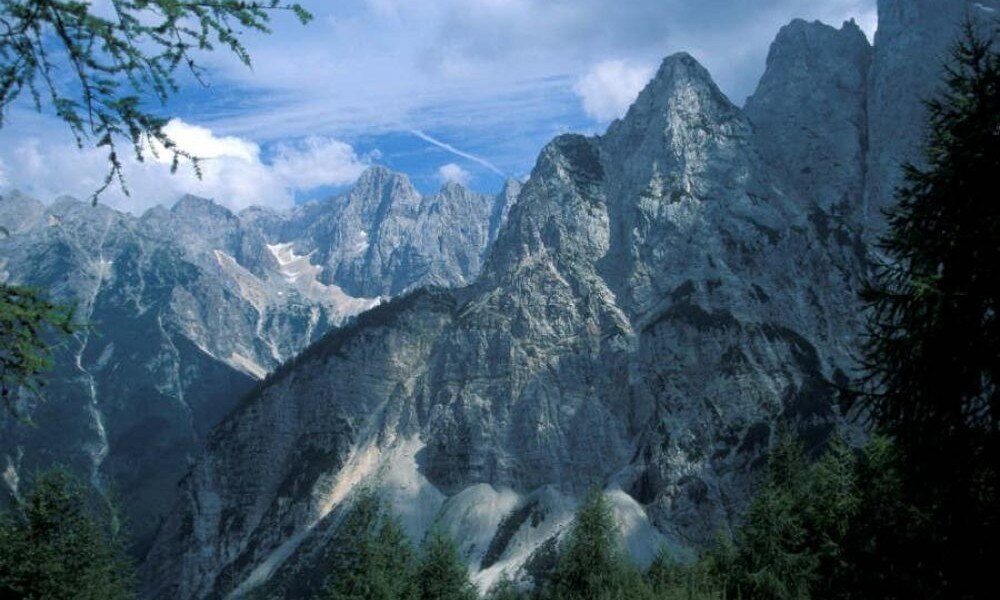
Mount Triglav at 2,864 metres is the highest in the park and can be climbed but only with proper planning. One of the best hiking areas is Tamar Valley, a beautiful glacial valley - several hiking routes originate from Tamar Hut, which can be accessed by car from Ratece 6km away. The hiking trail for the Seven Lakes Valley is also recommended, and begins at the car park for the Savica Waterfalls. Expect to take 3-4 hours to reach the first lake. The waterfalls themselves are Slovenia's most famous.
The Vršič Pass joins the townships of Trenta and Kranjska and has astounding views at its summit, from which numerous walking trails commence. Another road with outstanding vistas is the Predel Pass, Slovenia's highest road, with views into Italy and the lakes below.
The Vintgar Gorge
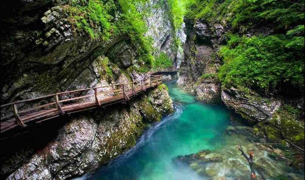
As one of Slovenia's most popular natural formations; Vintgar Gorge has been attracting visitors for over 100 years. A walkway has been created to trace 1,600m of the Radovna River as it crashes its way through the narrow chasm. Ending at the 26m Šum waterfall, the walkway criss-crosses the river giving incredible views, of not only the water, but also of the gorge as it rises above you on either side. At the lowest and southern most entry point in to Triglav National Park is Tolmin Gorge, another impressive gorge.
Back into Austria - Hallstatt
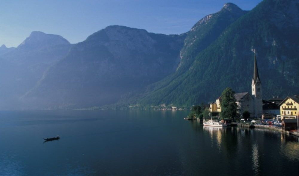
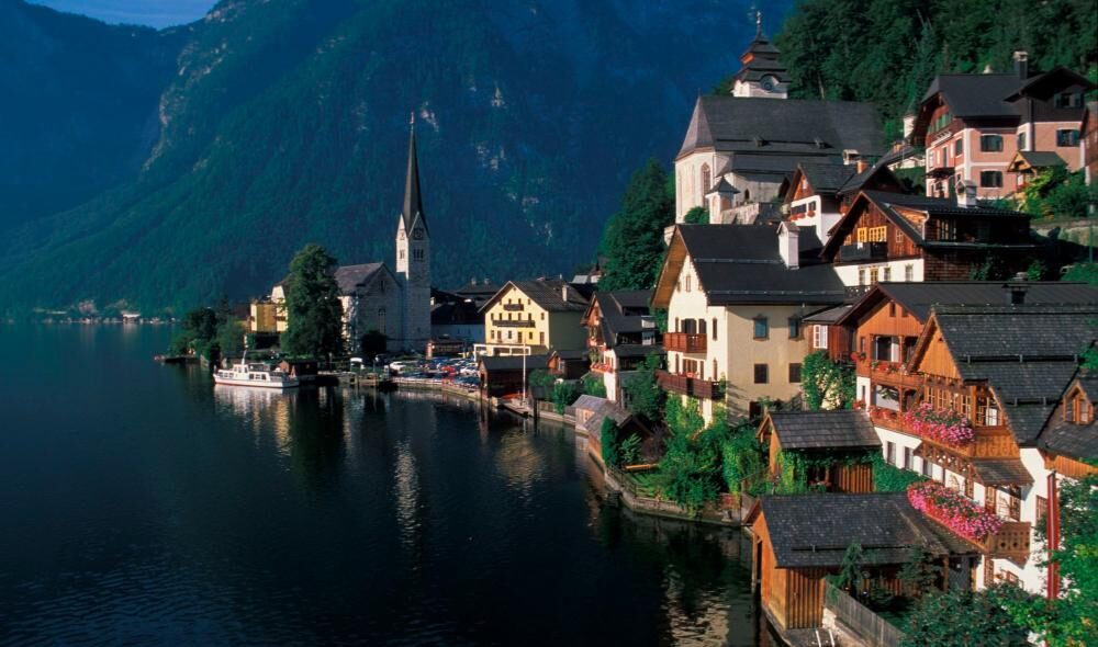
At the end of our stay in Slovenia we headed back in to Austria and travelled north towards Salzburg. En route was our final stop, Hallstatt (map - star), a destination that surpassed our expectations. Hallstatt, nestled between the waters of the Hallstätter See and the mountains, is a UNESCO World Heritage site. It is only a short walk from the market square to the lake, one of the most photographed points in the world - capture the delightful houses built in to the mountain, the glass-like lake, and the amazing mountains in the background. For more beautiful photographic opportunities take the Echerntal trail.
While in Hallstatt it is well worth a visit to the world's oldest salt mine and the Dachstein ice cave. The cave is reached by a short cable car ride, followed by a 20 minutes' walk that affords spectacular views of Hallstatt and the lake.
The Dachstein mountain range
Hallstatt sits in the Dachstein mountain range where there are many hiking trails. You can easily get to the higher walking areas through gondolas and cable cars. One of the easiest and most beautiful hikes is the one hour walk around the glacial lake Gosausee with its world famous rocky back-drop and crystal clear waters, and if you are brave enough there is nothing like a swim in a glacial lake to get the endorphins going.
Not to be missed is the Five fingers Viewing Platform, which provides one of the most spectacular views in the alps. The platform is a 15 minute walk from the Dachstein Krippenstein cable car summit station. Over five platforms (the Five Fingers), each in a different design, you can put your head for heights to the test and enjoy unique views down over Hallstatt, the Hallstättersee lake, and the inner Salzkammergut region. Not for the faint-hearted the platforms, of which one is glass, hang out over a 400 metre drop.